


Understand watercourses and flood conditions
Watercourse surveys
We capture relevant information from rivers, streams, ditches and other watercourses to support mapping and project planning.
Flood level information
Survey information can help establish existing flood levels and conditions relevant to development and assessment.
Clear watercourse mapping
Detailed mapping provides a clearer record of watercourses and surrounding features for design and assessment.


River surveys
River surveys provide detailed information about river channels, banks, levels and surrounding features. They can help establish existing conditions for engineering, environmental assessment, flood management and watercourse improvement projects.
Ditch surveys
Ditch surveys measure the alignment, dimensions, levels and surrounding features of drainage ditches. The information can assist with understanding existing drainage arrangements and planning maintenance, improvements or new drainage infrastructure.

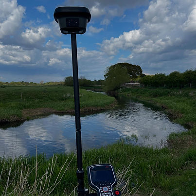
Stream mapping
Stream mapping identifies and records the location and physical characteristics of streams and associated features. Survey information can provide a useful spatial record for environmental studies, drainage planning and development assessments.
Flood risk surveys
Flood risk surveys collect site information that can contribute to understanding potential flood mechanisms and existing site conditions. Survey data can support flood assessments by providing accurate information about levels, watercourses and surrounding terrain.


Flood level surveys
Flood level surveys establish relevant elevations associated with existing or recorded flood conditions. Accurate levels can assist engineers and other professionals when assessing water behaviour and considering flood mitigation or drainage requirements.
River & watercourse mapping
River and watercourse mapping provides a spatial representation of channels, banks, structures and associated features. This information can support infrastructure planning, environmental projects, flood assessments and ongoing watercourse management.
For projects requiring broader site and environmental information, our services also include topographical & land surveys and monitoring & structural surveys.

Frequently asked questions
